The morning appeared fresh, with just a light breeze, temps mild. Last night the storms provided a pretty good light show to the south of us, and now the clouds lingered over the mainland, with deep booming thunderstorms passing over the southern tip of the island.
Campsite at the end of the rainbow... again for the gear junkies: the tent is a Tarptent Contrail - closest thing to a tarp and a bugnet - fast and uncomplicated to pitch; Exped Synmat UL7 insulated, inflatable sleeping pad (I used this in Alaska along with a Z-Lite for luxurious sleep on the snow); Coocoon silk bag liner - I place the synmat inside the silk liner so it's more like a sleep system; Mont Bell spiral down hugger minimalist bag - no hood, great as a bag booster (I used this in Alaska as a bag liner/booster for my Mont Helium to get the temp rating I wanted) packs down well and opens up to a quilt - I didn't need it. I also pack arm and leg warmers as part of my sleep system layers, to keep the sweat/sunscreen/dirt from soiling the bag or pad. The less cleanup work I make for myself the better = more hammock time when I get home...
Our thoughts moved to brekky. Wayne was doing pretty well with noodles on his solid fuel stove.
For me, luxury again. In the cup is a delicious chai latte out of a sachet, with honey to sweeten and add a few extra calories. Haribo gold bears (the pet monkey packed these for me). I pre-pack a cereal in a heavy duty ziplock - this one is an old grated cheese bag - which is a weet-bix, half cup of fruit muesli, milo bits (the pet monkey reckons these are the best) a bit of psyllium husk, a few spoons of sugar and full cream milk powder. I add a bit of warm water, close the bag and massage through to mix thoroughly. The psyllium husk adds a bit of bulk, but the side effect is it gels up the mixture, giving it a porridge-like consistency so it doesn't spill/slop around. Why is this important? Well, on a multi-day ultra ride you need to save time where you can, so you shove the ziplock in your barbag and eat on the bike. Then you brush your teeth...on the bike. There you go - food tips from a bicycle mechanic...
Here I'm wearing just a pair of sock gaiters by Moxie gear, for bushwacking I put on a knee high gaiter.
Deciphering animal tracks is another great pastime - looking at the direction, print shape and depth, the gait, other markings to indicate tail usage etc is fascinating to me. Just another animal going about its daily business. It pacified my guilt somewhat, as I pictured myself as just another animal out here doing my thing, and reinforces that when out in ANY area - sensitive or not - as responsible users we must maintain a light 'footprint'.
There is an area in the Desert loosely called 'Lightning Ridge', got its name from the lightning strikes in the area. The sand is fused into these glass-like clusters, that clink like fine porcelain when tapped. It'd be interesting to see what the material looks like when cut and polishing on a lap wheel.
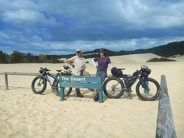
Partners in crime. To add ambience, the thunder was booming all around us, with menacing rain clouds sitting low, dark and heavy off the east beach. Nature has a great way of neutralising human feelings of superiority; I find it such a great feeling to be out in any weather event, experiencing the double edged sword of beauty and potential ferocity, revelling in the insignificance of oneself. Crikey, fatbikes really bring out the love, ey?
The main vehicle track from the desert was soft and partially unrideable, but it's only a short walk to the start of Rous Battery track. This track runs SSE along a gentle descent, through wooded eucalypt forest, with a dense cover of low ferns. Fire ran through here about 14 months ago, the trail was graded for fire break, but it is great to see the ferns and ground cover returning - from your Blechnaceae to your Schizaeaceae, (yes I know I should include the Thelypteridaceae, however these were further off the trail in perched water areas). Wow, culinary artistry, bike tech and shiz about ferns all in the same article :)
I think I just crop dusted Wayne.
Occasionally we'd come across these specimens - the Golden Orb spider. She weaves a golden web of super strong, Kevlar-like silk across the trail, when you ride into the web the spider generally comes along with you. The bite is venomous and painful, but not lethal - although allergic reactions may cause respiratory issues. Often they fall off without you realising, you're more at risk of injuring yourself as you twist, writhe and dance like Peter Garrett to try and shake the spider off...
The trail winds and wends its way south, the first indication you're getting close to the end is the sound of the surf. There were many pretty sections like this, a downside was the presence of feral pigs. We disturbed a family of about 6, they scattered before I could mobilise the camera.
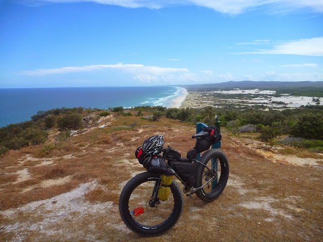
The view south from the post. The elevated position gives a significant advantage to spotters, increasing the distance that is visible out to sea.
The gatekeepers for the battery have long departed...
The bikes stood guard while we explored.
The current inhabitants keep a close eye on each other.
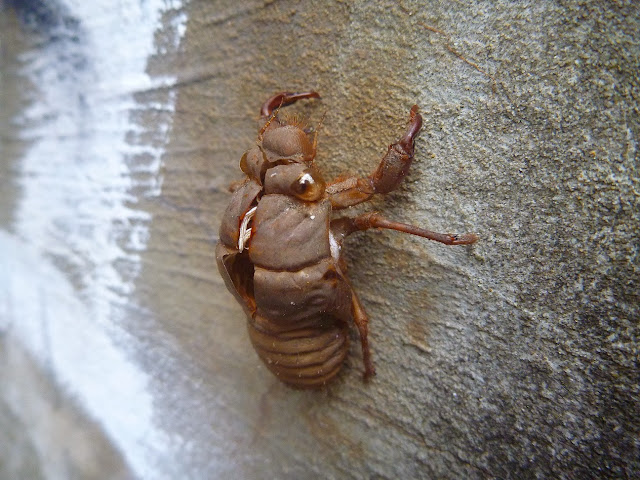
We left the spiders and moths to their lives, we were at the eastern beach and was time for morning smoko. This is one of the many elevated campsites, with good shade and plenty of sturdy trees for a hammock or three.
The last of the daily rations - a chicken noodle soup, fruit cake, ziplocked trailmix portion, choc chip Clif bar.
We came across two NPWS rangers and stopped for a chat, they remembered me from a while back and was good to touch base and share the island love. I'm confident they respect our mode of transport and the minimal resources required for us to traverse.
We rode another 4-5km south along the beach, until we found the entry to Little Sandhills, which was our 'Lawrence of Arabia' moment, and being the place we would cross the island to the west coast.
Big and Little sandhills are large sandblows, constantly shifting due to wind action. Trees get engulfed, trees are revealed, perched lakes form, the cycle starts again.
The scale of the area is surprising. Wayne is there on top of the dune, just right of centre. The sandhills were like a skatepark, pump track and rollercoaster - all in one gritty package. For quite some time we carved our way on descents and followed imaginary topo lines to climb along on a gentle gradient, freeing our minds from the constraints of following a track. A thousand different ways to get to the west coast - and with the shifting sands - there'll be a thousand different ways next time.
End point for our sandhills trek - the west coast.
For those keen to learn more about setting up your fat for beach expeditions, I've got a few videos here and here. I'll go through a brief a explanation of the setup below for this trip: Revelate 'Viscacha' seatbag contains first aid kit, siltarp, food bag, ti pot and stove; Revelate 'custom' framebag - bottom pocket is the garage, with tools, spares, binoculars etc; the top large pocket is 4L MSR dromedary water bladder; top side pocket is for maps; Revelate 'Jerrycan' (attached to seatpost/top tube) that has my lights, cam batteries and SD cards, lollies; Revelate 'Gastank' on toptube, for camera, gels, lollies, foodbars, sunscreen; Revelate 'Harness' on the bars, holds a drybag with bedding, clothes, exped synmat; Revelate 'Pocket' in front of harness - basically a glove box - holds junk, rolled up pizza; Salsa anything cages on each fork blade - Contrail on one leg, insulated nalgene bottle holder on the other. This whole system is modular, as you may have read on my Witjira build for Alaska, and is flexible for many different trips and bikes. Oh yeah, the hat - I'm always getting asked about the hats (okay, no, not really) it's a Frillneck hat and I reckon the best I've found. Versatile, a variety of bright or drab colours.
I hope you enjoyed the report and managed to find the one or two useless bits of mis-information I put in to confuse you. Moreton Island really is the fatbiking jewel of the bay. The locals are friendly, the logistics pretty easy and affordable, food and accom are second to none. You don't have to camp - hook up some accom at Tangalooma and make a weekend of it - the missus and kids will be occupied while you burn some calories on the sand. You have to experience it for yourself!


